My colleague Matthieu de Schipper and I are looking for a new PhD candidate as part of the large SOURCE research project! SOURCE stands for Sand nourishment strategies for sustainable Coastal Ecosystems. The SOURCE philosophy is that carefully planned sand nourishments now will create the required and desired resilient and dynamic multifunctional coastal landscapes of the future.
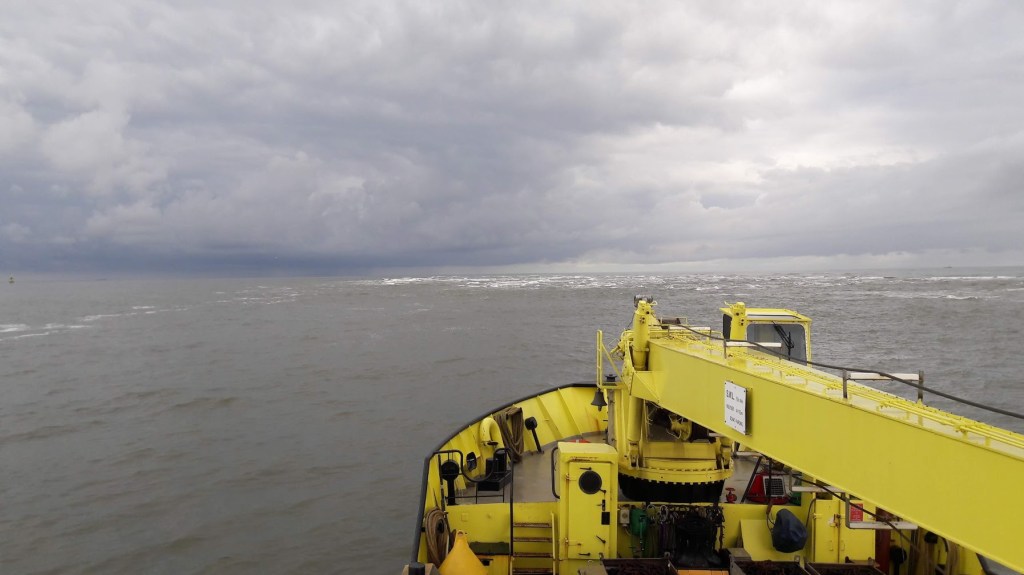
Sand nourishment has been essential in the Dutch government’s strategy to sustainably maintain flood protection levels along the Dutch coast for more than 30 years. Nourishment volumes are projected to increase to keep up with the expected acceleration in sea level rise. However, we currently lack fundamental knowledge on how the nourished sand finds its way through the coastal system, and what the long-term, cumulative effects are for the coast as an ecosystem. For instance, we know that beaches that are nourished with sand in the nearshore are eroding less, but which sediment is accumulating on the landward beach is still unknown. Likewise it is still unknown which hydrodynamic and sediment transport processes dominate in the vicinity of a nourishment.
In its entirety, the SOURCE research team will deliver the scientific knowledge, models and design tools to develop and evaluate nourishment strategies in a multi-stakeholder co-creation process. Our Living Labs are two sand nourishments along the Dutch coast. These will be co-designed, monitored and evaluated by the SOURCE consortium (in particular the 12 PhD and postdoc researchers at 8 academic institutes in total) in collaboration with 25 partners from government organizations, research institutes, nature organizations and industry.
As part of the SOURCE project, the PhD candidate at Delft University of Technology will examine the morphological development of shoreface nourishments. Understanding the hydrodynamics and sediment transport are key in this research. You will therefore use state-of-the-art field equipment and strategic numerical modelling to unravel the physical processes shaping nourishments. This will ultimately contribute to the robustness of (Dutch) sandy coasts to climate change and the safety of its people against flood hazards.
You will:
- Plan, execute and analyse field observations at a nourished beach to better understand the impact of nourishments on the hydrodynamics, sediment transport, and morphological evolution.
- Use strategic modelling to predict coastal sediment pathways at recently nourished beaches and the origin of sediment accumulated in the lee side.
- Combine data and findings of multiple nourishment projects to show the link between engineering design and coastal settings on the nourishment performance. This step will require you to collaborate with government and industry partners (abroad).
- Collaborate with academic partners in the SOURCE project to translate quantitative metrics of physical beach response to ecological and socio-economic impacts.
At TU Delft, you will be part of the Coastal Engineering section where we combine research on hydrodynamics, morphodynamics, and human interventions to the coast using numerical modelling and field measurements. You will primarily work with Matthieu de Schipper and myself (Stuart Pearson), embedded within a larger ecosystem of research partners.
More information about the topic and the application process can be found here.
Come join our team! Feel free to get in touch with us (s.g.pearson@tudelft.nl) if you have any questions. Applications close July 21st, 2024!