Keeping it Connected Around the World

It has been a crazy year, but work-wise I am on the final stretch, at least. Tonight at the ungodly hour of 12am CET, I will present my poster at the American Geophysical Union conference. It is at a much more reasonable 3pm PST in California where the conference organizers are located. If you have registered for the conference, you can see the poster via this link. Otherwise, I will try to put you in the loop here.

Estuaries are complex environments shaped by the interaction of waves, tides, rivers, and humans. Understanding how sand and mud move through estuaries is essential for their effective management. In an approach known as connectivity, the pathways taken by sand and mud through estuaries can be represented as a connected network of nodes and links, similarly to a subway map. Connectivity provides numerous mathematical techniques and metrics that are well-suited to describing and comparing these pathways in estuaries.

Network diagrams depict the sediment transport pathways of each estuary as a series of nodes and connecting links. The Mouth of the Columbia River (1) and San Francisco Bay (2) are on the west coast of the United States, while Ameland Inlet (3) and the Western Scheldt (4) are in the Netherlands. Red arrows indicate the 90th percentile of all connections in terms of sediment fluxes, superimposed on greyscale bathymetry of each estuary.

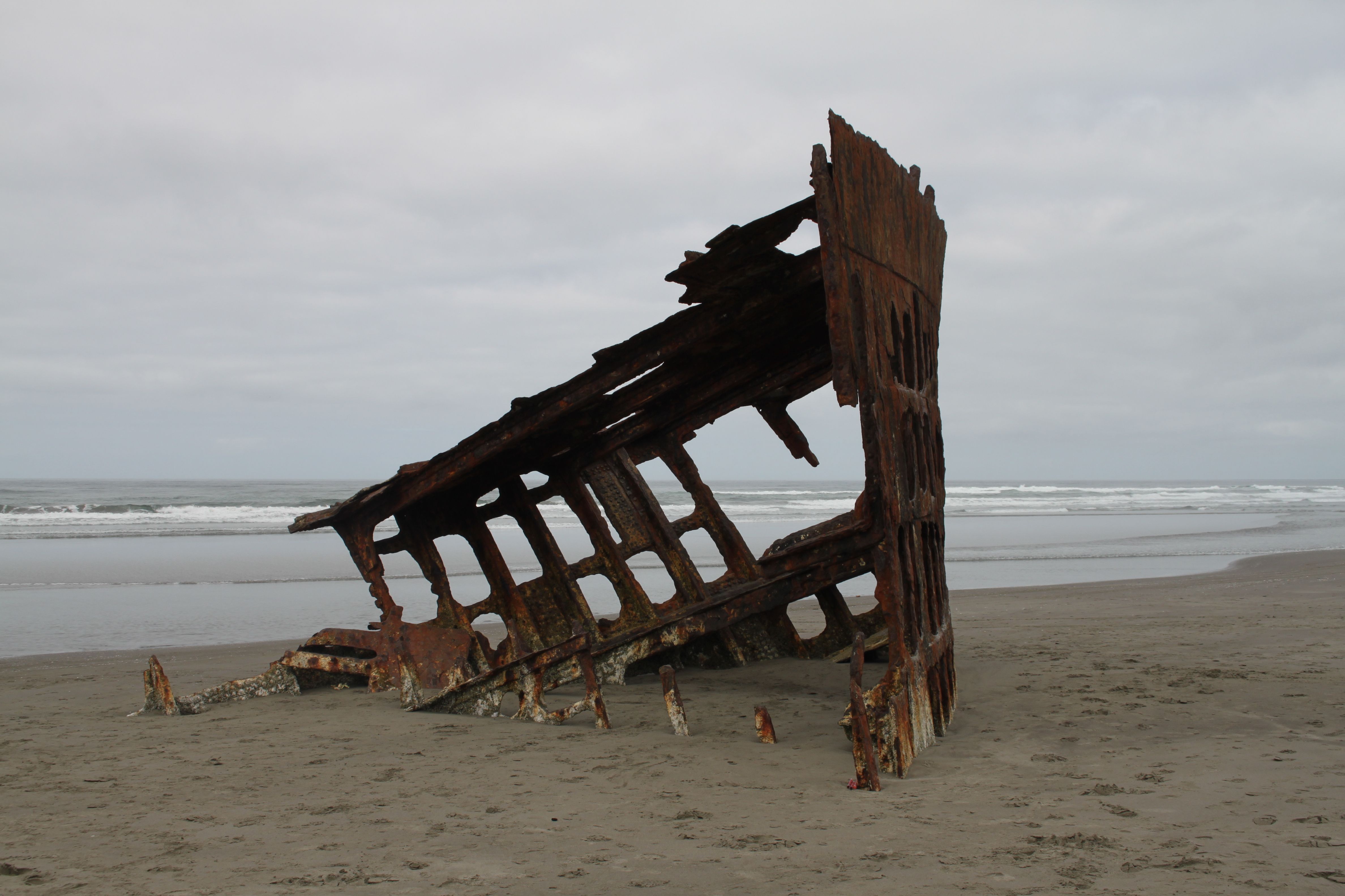
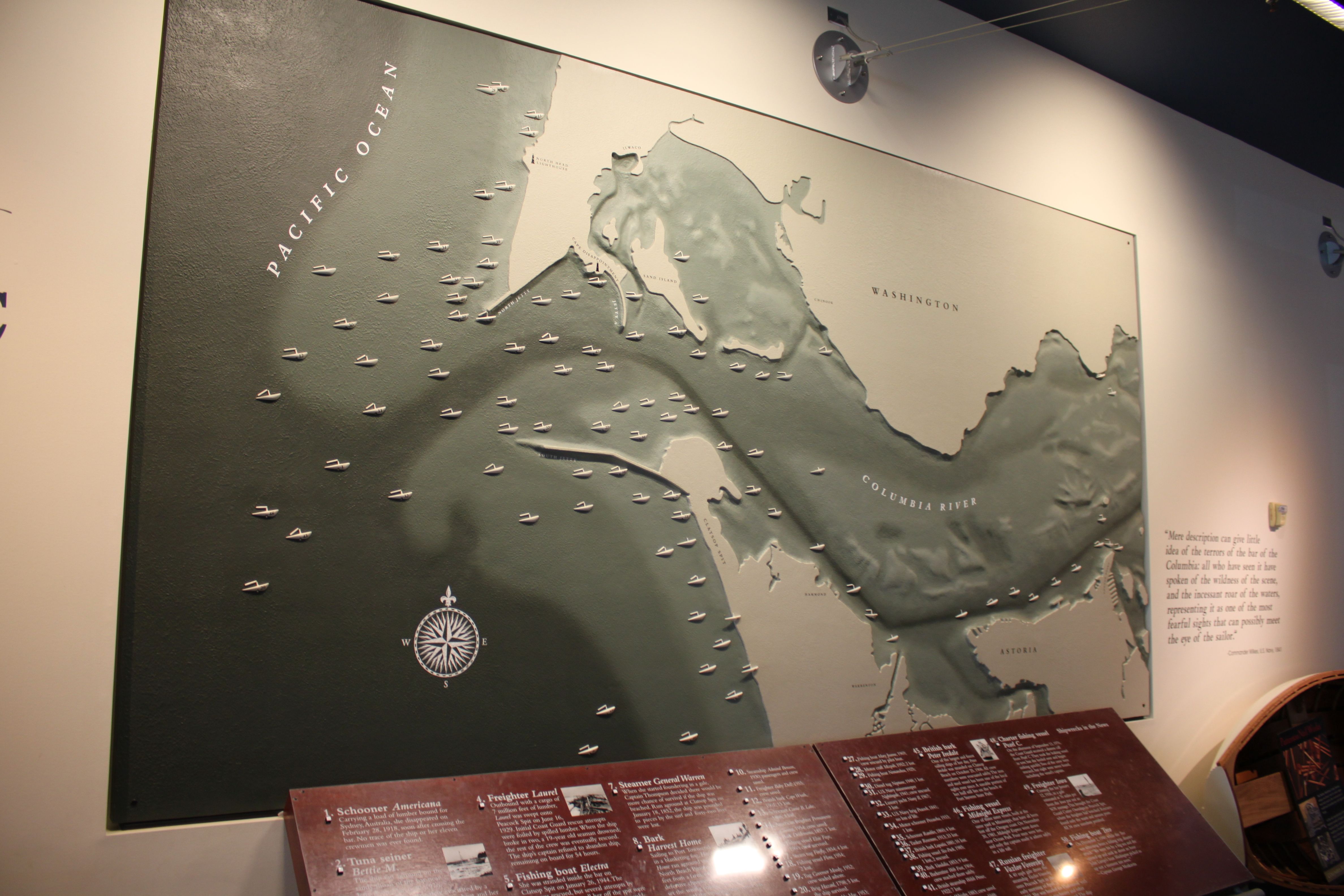
We use connectivity to map out and analyze sand and mud pathways in four estuaries around the world: the Wadden Sea (the Netherlands), Western Scheldt (NL), San Francisco Bay (US), and Columbia River (US). Our analysis is based on the outcome of numerical simulations, and we explore the benefits of different simulation techniques. We conclude that connectivity is a useful approach for visualizing and comparing the pathways that sand and mud takes through different estuaries. We can use this method to plan and predict the impact of human interventions in these environments, such as dredging.

However, a comparison of connectivity metrics suggests a dependency not just on sediment transport processes, but also on the choices made in schematizing networks from underlying models.  Essentially, we’re not comparing apples to apples yet, so if we are going to make comparisons between different estuaries, we need to make sure that we set up our models in an equivalent way. Our ongoing research will focus on optimizing these numerical models to make more meaningful quantitative comparisons of different estuaries.

Where Water Comes Together with Other Water

I recently found a poem by Raymond Carver that really struck a chord with me, and I thought I’d share it for anyone else who is estuarily enthusiastic:

Where Water Comes Together with Other Water

I love creeks and the music they make.
And rills, in glades and meadows, before
they have a chance to become creeks.
I may even love them best of all
for their secrecy. I almost forgot
to say something about the source!
Can anything be more wonderful than a spring?
But the big streams have my heart too.
And the places streams flow into rivers.
The open mouths of rivers where they join the sea.
The places where water comes together
with other water. Those places stand out
in my mind like holy places.
But these coastal rivers!
I love them the way some men love horses
or glamorous women. I have a thing
for this cold swift water.
Just looking at it makes my blood run
and my skin tingle. I could sit
and watch these rivers for hours.
Not one of them like any other.
I’m 45 years old today.
Would anyone believe it if I said
I was once 35?
My heart empty and serene at 35!
Five more years had to pass
before it began to flow again.
I’ll take all the time I please this afternoon
before leaving my place alongside this river.
It pleases me, loving rivers.
Loving them all the way back
to their source.
Loving everything that increases me

– Raymond Carver

The image at the top of this post is of the mouth of the Columbia River, apparently at the beginning of flood tide. The plume of sediment and fresh water from the muddy river has extended out into the Pacific and mixed with salty seawater.  Then, as the tide turns, it floods and brings the new mixture back into the estuary.  This results in the second, inner plume pushing its way past the jetties.  The contrasting physical properties of these two meeting bodies of water results in the beautiful patterns we see here.  “The places where water comes together with other water. Those places stand out in my mind like holy places.”

Sources:

Carver, R. Where Water Comes Together with Other Water. Astley, N. (Ed.). (2011). Being Human: Real Poems for Unreal Times. Tarset: Bloodaxe Books.

Sentinel-2 L1C image from February 10, 2020 (Source: https://tinyurl.com/uze5feu). Image has been slightly enhanced to improve contrast.

Sand: Clatsop Beach, Oregon

Today’s sand sample is from Clatsop Beach, Oregon, on the Pacific Northwest coast of the US.  Last summer I spent several months modelling sediment transport at the mouth of the Columbia River with the US Geological survey, and had the great privilege of making a site visit at the end of my stay.

Working in partnership with Oregon State University and the Washington State Department of Ecology, I assisted with a topographic survey of the beaches surrounding the Columbia.  Half the team surveyed the submerged parts of the beaches via jetski, and my group walked transects across the beach and up the dunes using backpack-mounted GPS units.

Starting at far-too-early-in-the-morning, our team split off individually, and I had an entire kilometers-long stretch of the beach to myself until almost lunch time, when we reconvened.  I love long walks on the beach and take great pleasure in that sort of solitude in nature, and it was even cooler to do that while collecting data that could help the project I was working on.  The digital computer model I had worked on all summer was now suddenly a real place where I could feel the sand between my toes.

Gold in Them Hills

The sand at this beach is interesting because of the black grains we see scattered throughout.  This sediment is made of minerals like chromite, magnetite, and garnet, which are heavier than the whitish quartz grains we see around them.  These deposits, known as “placers”, were transported to the sea from the mountains inland by the Columbia River. They form on the beach because lighter minerals like quartz are preferentially sifted out by waves and currents, leaving more of the dense particles behind.   This even includes trace amounts of gold!  Can you see any in the photograph below?

ClatsopBeachOR_000001
Sediment sample from Clatsop Beach, OR.  Note the black “placer” deposits of heavy minerals.  Can you see any flecks of gold?

At the end of our survey, I walked along the beach to check out a surprising object emerging from the sand: the wreck of the Peter Iredale, a sailing ship that ran aground there in 1906:

petereyerdale
The Wreck of the Peter Iredale on Clatsop Beach.

Known as the “Graveyard of the Pacific“, the mouth of the Columbia is truly a “killer ebb-tidal delta”: huge waves and powerful currents meet violently, and have caused dozens of shipwrecks over the past few centuries.  This makes effective management of the sediment there crucial for safe navigation, keeping the shipping channel dredged clear and disposing of the sediment in environmentally-friendly, cost-effective, and useful ways.

wrecks
Historical shipwrecks at the Mouth of the Columbia River, seen in the Columbia River Maritime Museum.  

Strategic placement of this dredged sediment was the focus of my time at USGS last summer, but I will delve into that more in a future post!